
Distance: 3.63 mi.
Elevation Gain: 341 ft.
Start Time: 7:07am
End Time: 8:01am
Trip Report:
The Middlesex Fells Reservation north of Boston is a treasure trove of trails that all Boston-ites should consider themselves lucky to have. As a guest, I also found it wonderfully easy to access and enjoy. I did a minimal amount of research on the trails, stumbling upon the Skyline Trail first of all to get an understanding of what I might want to do. There are also a number parking lots providing immediate access to the trails. I opted to park on the very southeast side to gain quick access to the Skyline Trail.
 |
| "Trailhead" from the parking lot |
 |
| Great signage for the Skyline Trail |
I followed the Skyline Trail north and had slow going because of the rocky and hilly terrain. It was also very muggy and buggy which added to the nuisance of things. I went up to Silver Mine Hill and decided this would make a good turn around. I noticed on the map the Silver Mine Path which was more double track and would allow me to create a loop run instead of just backtracking everything I had just done so I took it. While the Skyline Trail was foot traffic only the Silver Mine Path was more for bikers and I followed it west. It was double track at first and then at a hill narrowed to single track as it switchbacked down the hill. At the bottom was a double track dirt road that I briefly took north to get to the shore of the South Reservoir. The Reservoirs are drinking water for local communities so they don't allow people in them. I followed the road south again until it met up with the western segment of the Skyline Trail and ran that again south til I returned to my starting point. It made for a good 3.6 mile loop. The mugginess left me drenched and the bugs gave me plenty of motivation for speed and haste to finish. The terrain of the Fells would be great for any trail runner aspiring to work on their footing in technical uphills and downhills. It is also nice in that there is a variety of trail types to attempt. From rocky single track to relatively mellow and easy double track you can take in whatever you want.
 |
| Wright's Tower |
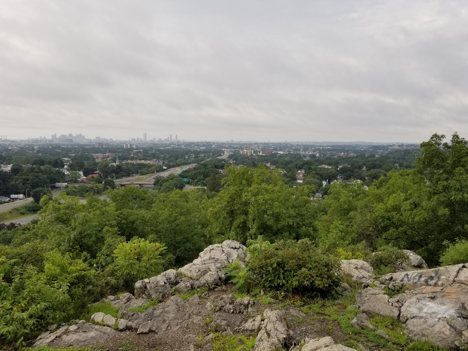
 |
| Views of Boston from next to Wright's Tower |
 |
| Example of the slabby and rocky terrain. Look for the white blazes |
 |
| On the doubletrack of the Silver Mine Path |
 |
| The South Reservoir |
 |
| The signage and the colored blazes were very well done |
 |
| Found this to be an interesting way to cut trail through a down log |
 |
| A rocky downhill, watch your step |
Track:
I have a track and waypoints from the hike all contained in a KML file that you are welcome to download and use (at your own risk).

No comments:
Post a Comment