
High Point: 9,702 ft.
Chalk Creek Trailhead Elevation: 8,390 ft.
Distance: 7.84 mi.
Elevation Gain: 1,241 ft.
Elevation Loss: 1,773 ft.
Start Time: 8:20am
End Time: 12:21pm
Trip Report:
This hike came on day 5 of my all-too-short trip to visit family in Colorado. Up to this point I had logged 47 miles and 17,100 feet of elevation. I was finally hitting that point where my body had had enough and needed some rest. But I also didn't want to waste a good day to get in some miles with the small amount of time I had out west. So my father and I looked for a good hike that would get us trail time, good scenery, but yet not work the legs too hard. We picked out this route on the Colorado trail as the perfect fit. We had already been at Brown's Creek trailhead a few days prior to hike Mt. Antero via Little Brown's Creek and we had loved that first mile and a half on the Brown's Creek Trail. It was also evident that after the initial climb up to the Colorado Trail most of the rest would be downhill.
So we set out from Brown's Creek TH at 8:20am not being in any hurry today. It was yet another beautiful morning in the mountains with blue skies and some sun poking through. We enjoyed the nice hike up the Brown's Creek trail only running into one other hiking party. We took 39 minutes to gain the junction with the Colorado Trail. It was another quick few minutes down the CT to the north when we passed the familiar junction with Little Brown's. After that we finally made it into new trail for the day.
 |
| Working our way up the Brown's Creek Trail for the 2nd time in 5 days. |
 |
| Descending down hill on the Colorado Trail nearing the elevation we started the day at |
 |
| Pano looking north toward Mt. Princeton and the Chalk Cliffs |
 |
| So much of this section of the Colorado Trail looks just like this |
 |
| Occasional placards on the trees to remind you that you are on the Colorado Trail |
 |
| Chalk Cliffs |
At the northern end of this section as you draw nearer to the descent to Chalk Creek the trail encounters a ridge. It climbs just over a hundred feet at a low point in the ridge and then continues ascending along the back (north) side of the ridge eventually gaining the crest. Several nice viewpoints in here for the Chalk Cliffs. We topped out at 9300 feet on the ridge after having climbed almost 400 feet back up from our low point.
 |
| Aspen grove with foliage on the north side of the ridge before our final descent |
 |
| Eastern slopes of Mount Antero |
 |
| Trail sign along a dirt road as we near the Chalk Creek Trailhead |
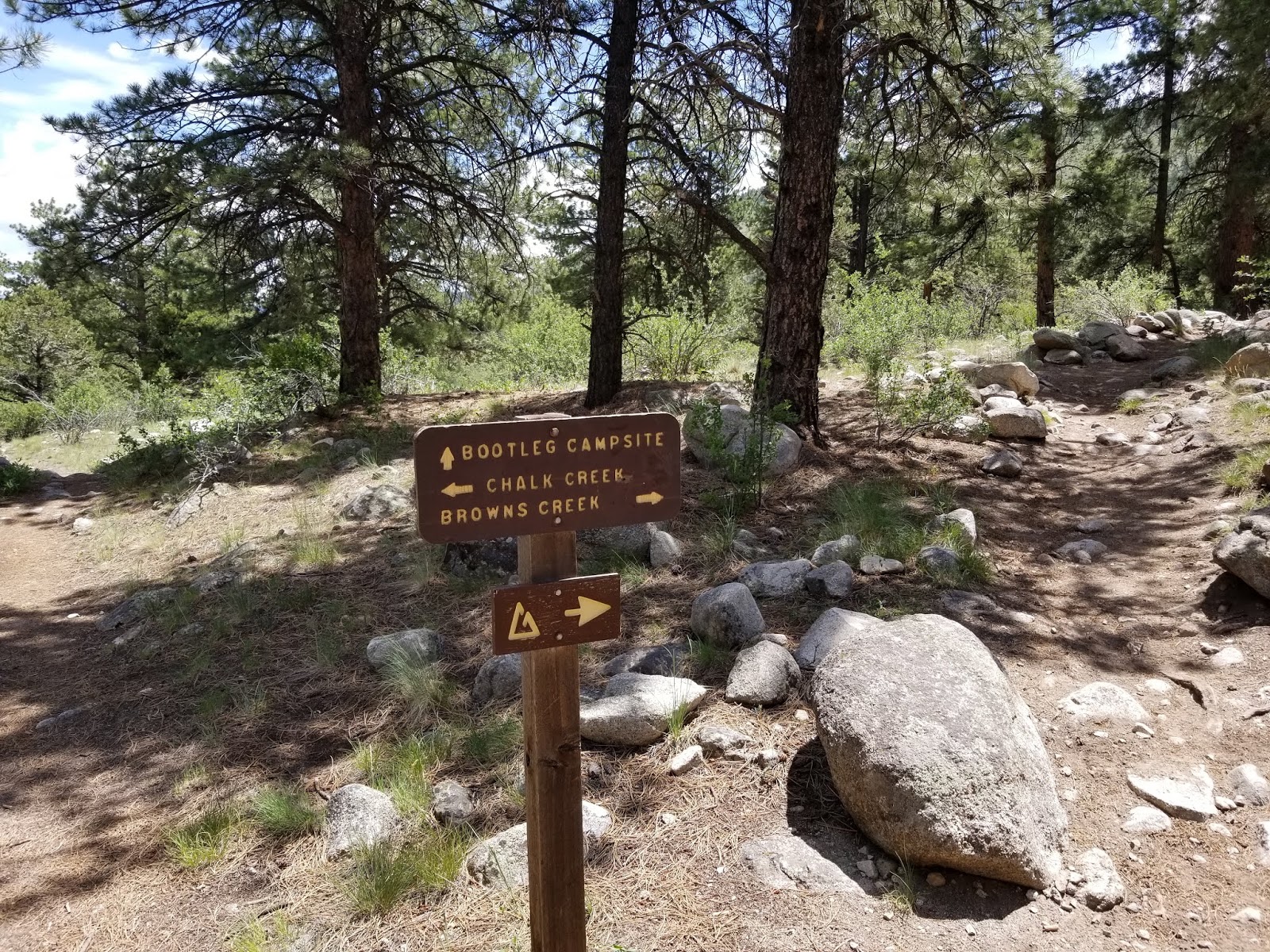 |
| The junctions near Chalk Creek trailhead were all well signed |
 |
| Chalk Creek roaring right now with all the snowmelt coming down |
Track:
I have a track and waypoints from the hike all contained in a KML file that you are welcome to download and use (at your own risk).


.jpg)


No comments:
Post a Comment